 Credit: Papers by Sepia Lane; Elements and embellishments by SFJ CT
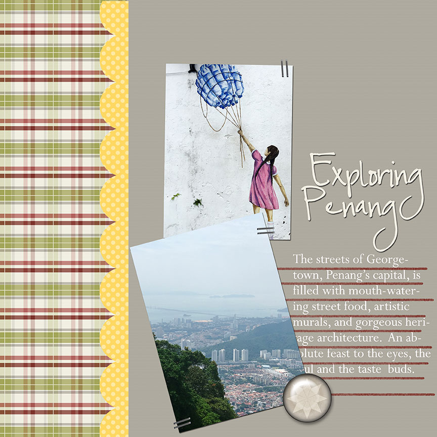
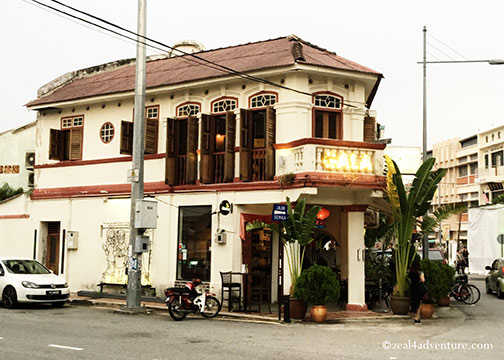
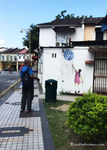
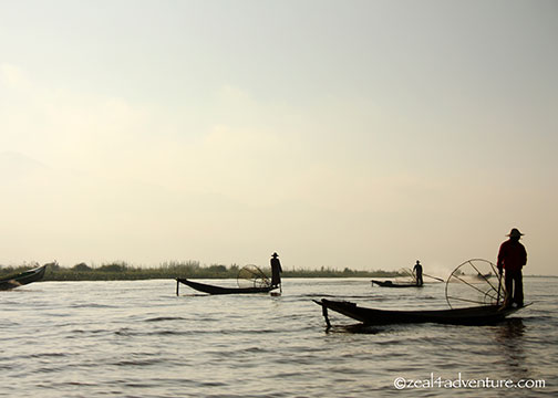
The streets of Georgetown, Penang’s capital, is filled with mouth-watering street food, artistic murals, and gorgeous heritage architecture.
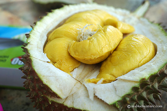 If in season, the durian (in this case the musang– the king of durian) is sweet and creamy
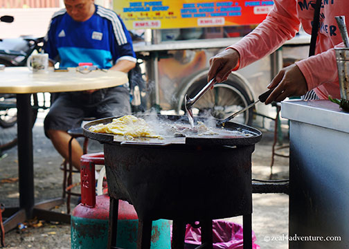
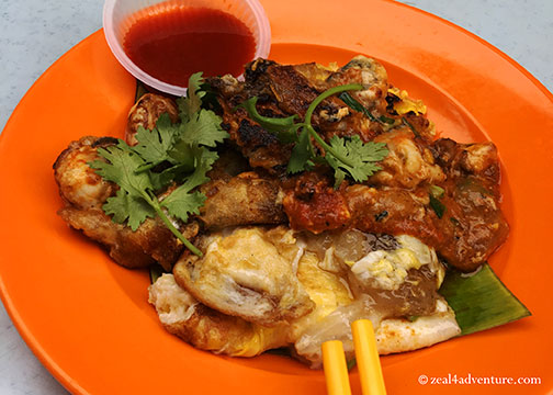 A plate of oyster omelette can be found in many food hawker in the island.
An absolute feast to the eyes, the soul and the taste buds.
A city somehow frozen in time yet woven with today’s modern lifestyle caprices, Georgetown easily caters to history buffs, photographers, shopaholic and foodie fanatics.
 Once an important trading hub, the British East India Company established spice farms throughout the island. The export of these spices helped cover the administrative cost of Penang in its early years.
The influence of Asia and Europe have endowed this city with a unique multicultural heritage and with all the astounding history around, Georgetown was awarded UNESCO World Heritage Site status in 2008.

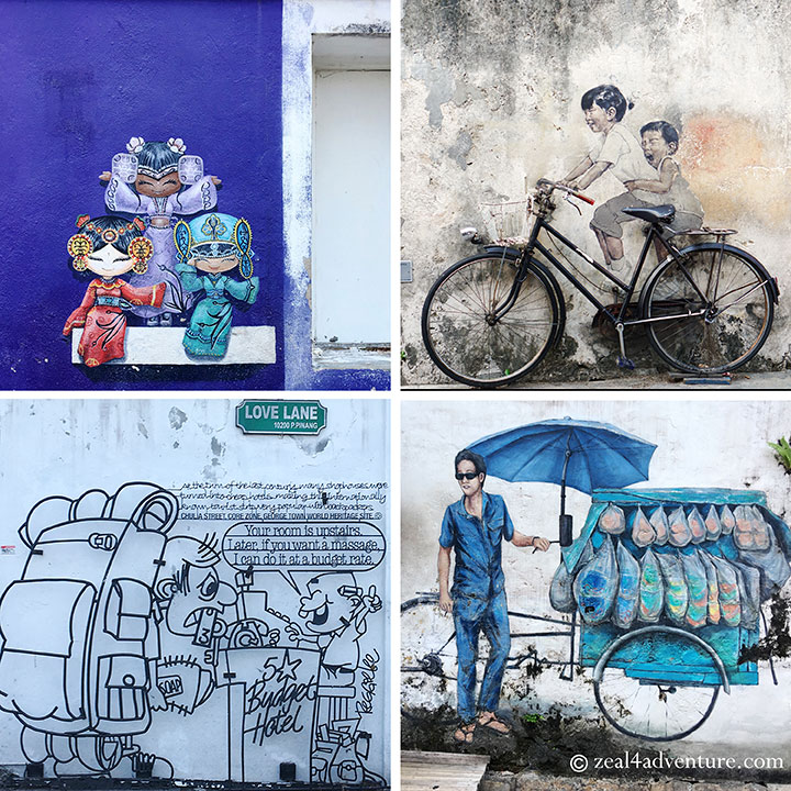
 Pedestrian-friendly, the well-planned series of roads and paths will reveal an exciting, vibrant city with eye-catching street art caricatures, colorful heritage houses, atmospheric temples, beautiful mosques, and bustling food hawkers.
Highlights of our exploration:
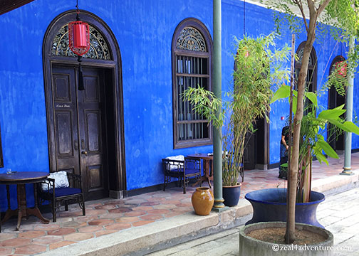
Cheong Fatt Tze Mansion
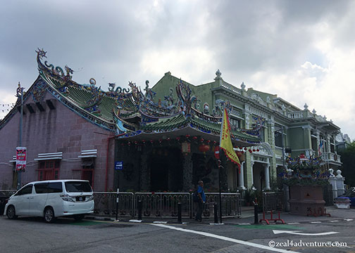
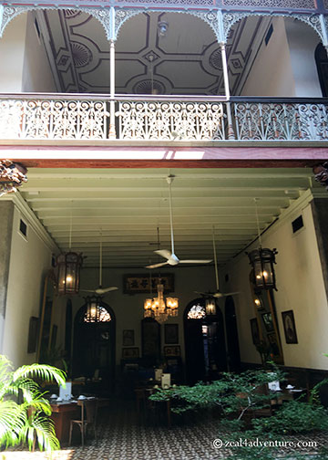
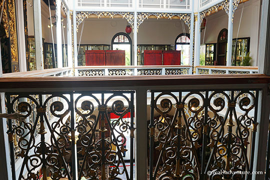
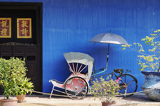 One of Penang’s most prominent attraction and one of the only 3 UNESCO Heritage award-winning buildings, Cheong Fatt Tze Mansion, also known as The Blue Mansion is a stately 1880 manor that stands out because of its indigo blue façade.
Designed in traditional Hakka – Teochew Style, the mansion was restored into a Boutique Heritage Hotel by a conservation project that went on to win numerous architectural awards.
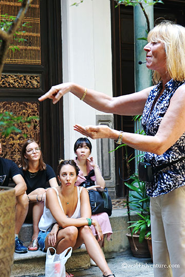 A tour of the estate will reveal the lifestyle of Cheong Fatt Tze, his family and the cream of Penang society in the era it was in.
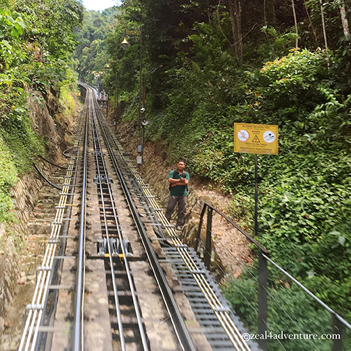
Penang Hill
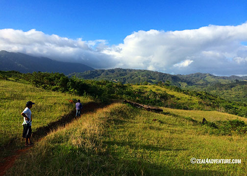
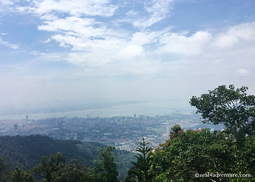 Dominating the Georgetown landscape, Penang Hill was the 1st colonial hill station developed in Peninsular Malaysia. The top of the hill is accessible by a good hike or the Penang Hill Funicular Railway (which, by the way, is the steepest tunnel track in the world) from its base station at Jalan Bukit Bendara, Air Itam.
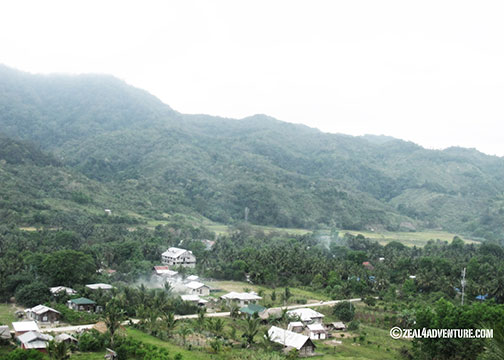
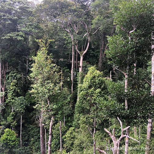
 The hill is a community of attractions that include food and drink options set 821 meters above Penang’s capital. It is the last piece of tropical rainforest in Penang, so flora and fauna have been protected since 1960.
The Habitat on Penang Hill
For the ultimate Malaysian rainforest experience, a visit to this part of the hill is a must.
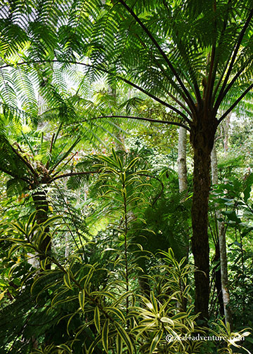 When you walk through the gateway of the Habitat, you enter a magical kingdom of a 130-million-year-old rainforest.
 This world-class ecotourism site is the first of its kind in Malaysia. It aims to promote environmental consciousness and conservation awareness.
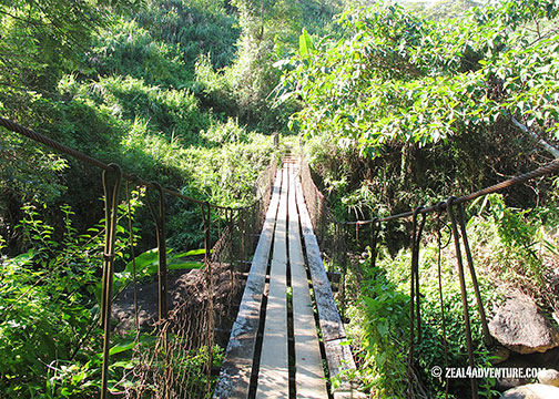
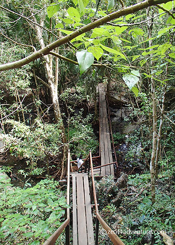
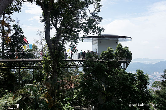
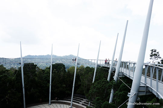
 Walk on the new world-class Stressed Ribbon Bridge named the Langur Way Canopy Walk
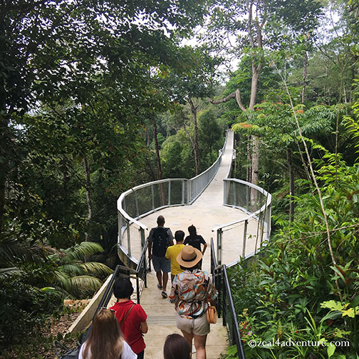
 The Tree Top Walk
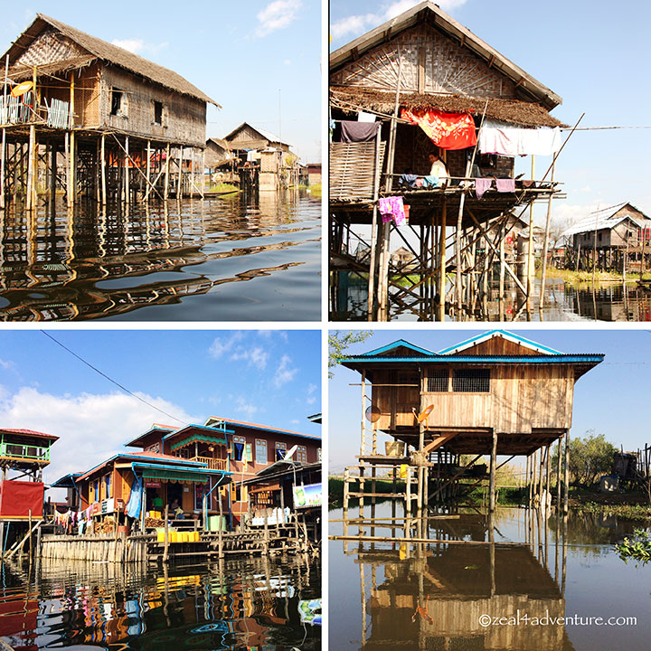
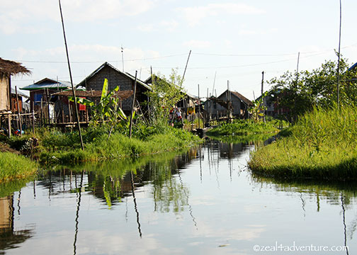
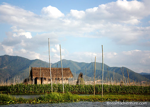
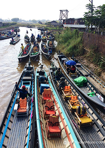
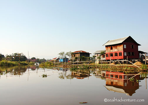
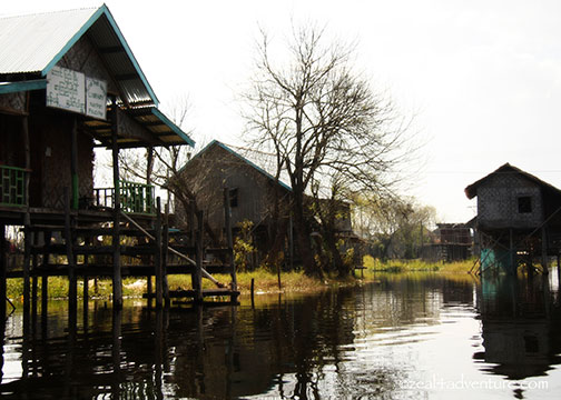
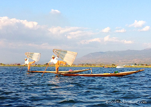
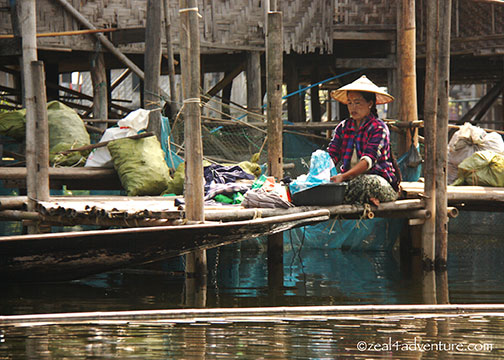
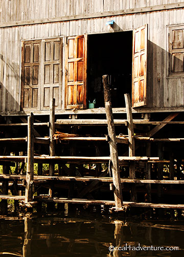
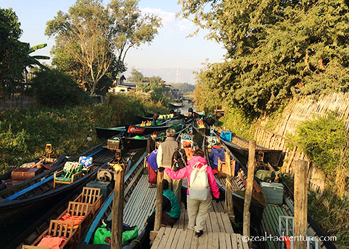
Clan Jetties
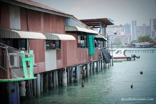 Along the pier are villages on stilts that house descendants of Chinese immigrants. Constructed over a century ago, the jetty has developed into a town propped up over the sea.
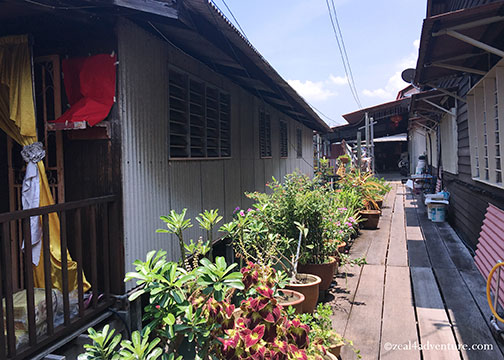 Planks create paths linking houses on stilts, owned by families of fishers creating a rustic and peculiar impression. We found ourselves at the Chew Jetty, but in total, there are 8 different clans still residing there.
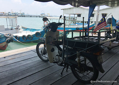
The Chew Jetty Café is a good stop for lunch or refreshments. Though the White Curry is what the café is famous for, we were too late. Here’s what we had instead — also quite good and worthy of my recommendation.
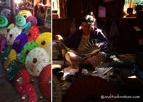
Pinang Peranakan Mansion
 The mansion allows you a glimpse back in time as to how the wealthy Straits Chinese settlers once lived. The Peranakan, also known as the Babas and Nonyas, was a prominent community of acculturated Chinese unique to this part of the world.
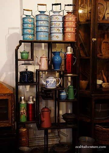 Adopting selected ways of the local Malays, and later, the colonial British, the Peranakan lifestyle and customs had not only left a rich legacy of antiques but its cuisine and languages as well.
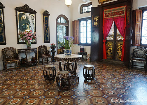 The Pinang Peranakan Mansion is one of the best surviving examples of the lavish lifestyle of this prominent community containing an extensive collection of furniture, silverware, dresses, decorations, collectibles, and appliances.
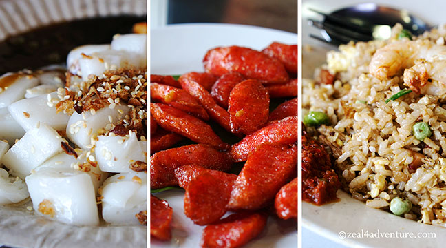
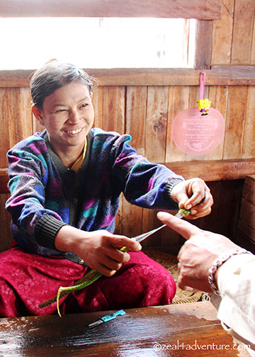
Nyonya Cuisine
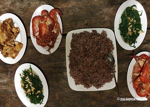
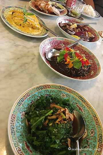 A feast we devoured in Kebaya
A must-try! It echoes the cultural identity of the Peranakans. Nyonya cuisine is as exotic as their east meets west architecture, their beautiful fashion, and their elaborate pottery. It is mostly traditional Chinese food altered to suit the local palate and to augment the limited ingredients found in their new homeland.
Some of the signature ingredients used in Peranakan cooking include coconut milk, laksa leaves, lemongrass, and tamarind. The result is an extraordinary cuisine that is altogether tangy, sweet, sour and spicy.
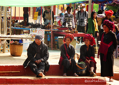
Little India
A few steps away from the Pinang Peranakan Mansion is Little India.
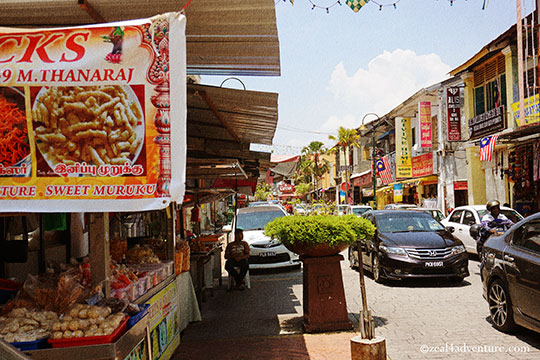 Wander around and experience a whole new world. Its culture and food adventure is definitely worth the exploration.
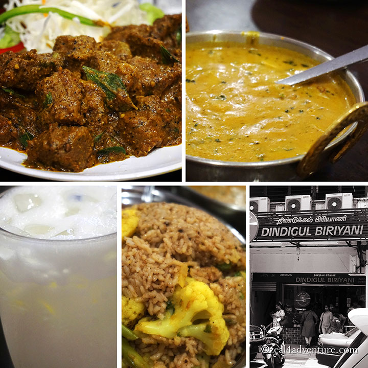
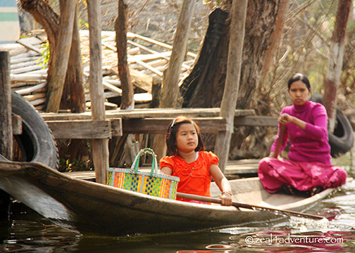
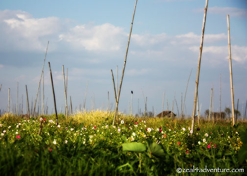


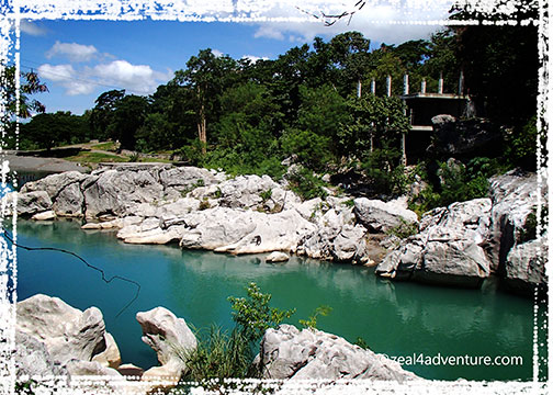
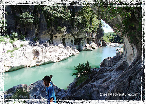
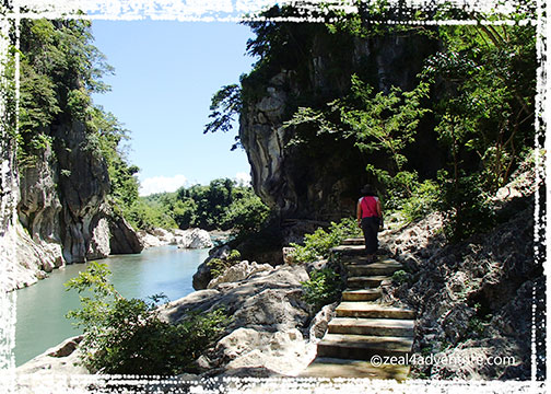
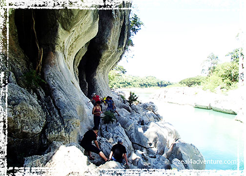
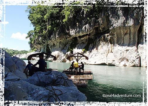

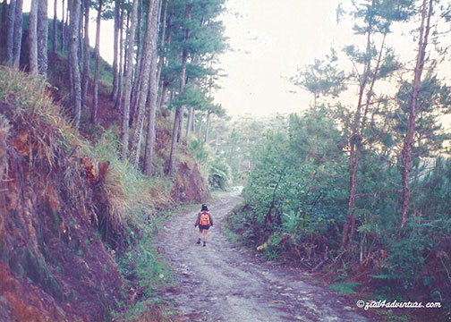
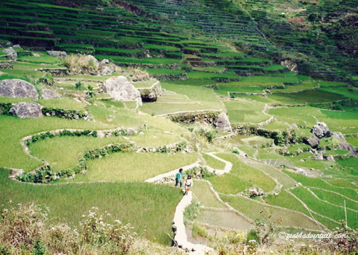
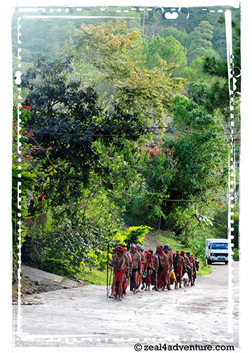
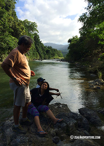
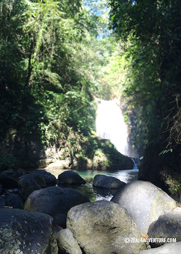
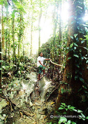
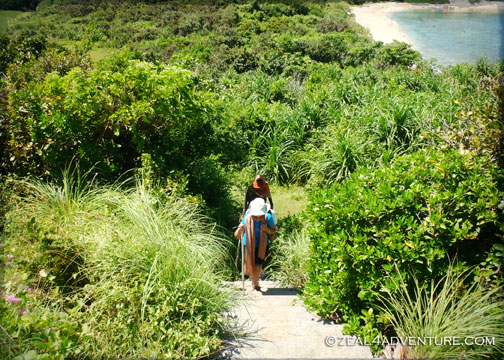
 Some paths only had rocks to step on. That was scary.